
Porlock Weir to Lynmouth Walk: Full Coastal Hiking Guide

Some of the links in this post are affiliate links, meaning that if you click through and make a purchase, I will earn a small commission, at no extra cost to you. See our Disclosure Policy for more information.
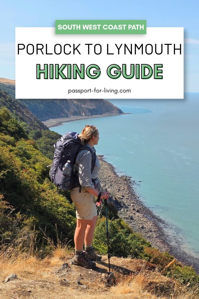
If you’re planning to walk from Porlock to Lynmouth along the South West Coast Path, you’re in for a beautiful, varied and rugged stretch of coastline. But if you’ve never walked this section before, you’re probably wondering how difficult it is, what the trail is really like and what you’ll find along the way.
The Porlock Weir to Lynmouth walk takes you through ancient woodland, along exposed coastal paths and across open moorland, with some incredible views over the Bristol Channel. It’s a challenging hike at times, with plenty of hills and some fairly remote sections, so knowing what to expect before you set off can make a huge difference.
I’ve walked this route twice, experiencing it in pouring rain and again on a very hot summer’s day, so I’ve seen how different the trail can be depending on the conditions. I’ve also worked nearby in Minehead for the past four years, lived in Devon for more than 15 years and visited Porlock, Porlock Weir and Lynmouth countless times.
In this guide, I’ll walk you through the route step by step, including the terrain, difficulty, facilities and practical things you need to know before setting off, along with plenty of photos so you know exactly what to expect.
Porlock Weir to Lynmouth Walk: Quick Overview
Start: Porlock or Porlock Weir
Distance – 12.4 miles (19.4 km)
Time Required – 6-8 hours with breaks
Parking – Porlock Central Car Park or car park at Porlock Weir
Public Transport – 300 bus from Lynmouth to Porlock, also known as the Exmoor Coaster or Exmoor Explorer (this only runs from late May to August)
Facilities – Shops, pubs, cafes & restaurants in Porlock and Lynmouth. No facilities along the trail, except for an honesty box just outside Countisbury, which was filled with snacks and cold drinks when we passed.
Difficulty – 4/5 – Moderate to difficult walk with some tough uphill stretches and a long distance for the average walker.
Porlock Weir to Lynmouth Coast Walk Map
How Difficult Is the Porlock to Lynmouth Walk?
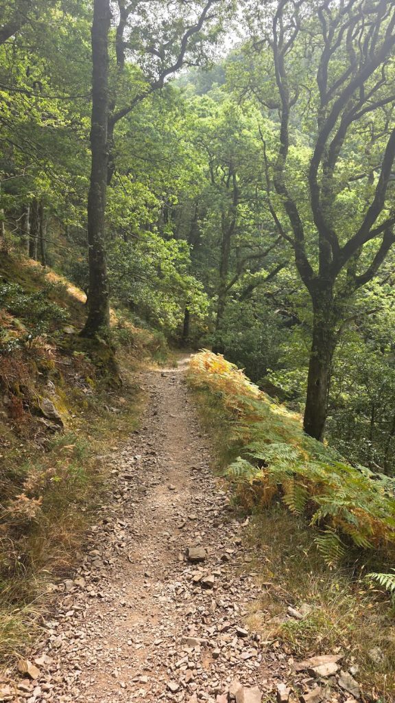
As far as the South West Coast Path goes, this walk is one of the easier stretches. The first 7 or so miles take you through ancient woodland high above the Bristol Channel, with an undulating trail that is rocky underfoot.
The hardest sections come right at the beginning, and towards the end, with an uphill climb out of Porlock Weir, and another uphill section at Countisbury Hill, and then finally down into Lynmouth (the downhill stretch into Lynmouth is surprisingly hard on tired legs).
The hardest part for most people will be the distance. If you’re not used to walking 12+ miles in a day, this could be a challenge, but a great one to try!
How to Get to Porlock Weir
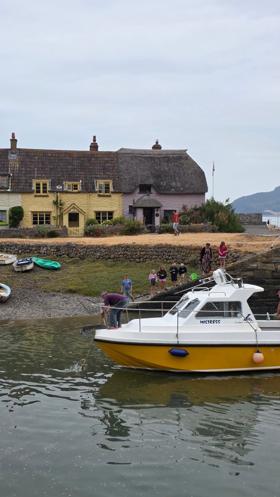
Porlock Weir is a lovely little village not far from Porlock. However, don’t be fooled into thinking Porlock and Porlock Weir are the same place, as there’s actually 1.6 miles between them.
By car: The easiest way to get to the rural villages of Porlock and Porlock Weir is obviously by car using the main roads from Minehead or Lynmouth, or crossing Exmoor.
By bus: The 300 bus route (known as the Exmoor Coaster or Exmoor Explorer) operates in summer between May and August, travelling along the North Devon and West Somerset Coast.
By taxi: Outside of the summer months, it can be really difficult to get between Lynmouth and Porlock, and your only option will likely be a taxi, which would need to be booked in advance.
Porlock Weir to Lynmouth Walk: Step-by-Step Route
Starting the Walk at Porlock Weir
We actually started walking from Porlock, which added an extra 1.6 miles onto the walk, because parking was slightly cheaper there (I know, I’m a cheapskate!).
You can park at Porlock Weir and start the walk from there. You’ll walk past The Ship Inn (also known as the Bottom Ship), and follow the road through the village past the Porlock Weir Hotel and the Harbour.
Before our walk, we stopped at Samphire on the Weir for a cup of tea, but unfortunately, the service wasn’t great (they took 30 minutes to make a cup of tea and they were quite rude), so maybe try Harbour House Coffee Shop instead.
To get onto the South West Coast Path, you’ll follow the trail past the harbour and out onto the pebbly beach. Keep walking along the beach until you reach a sign directing you to the left, up a small hill and through a tall gate.
Porlock Weir to Culbone
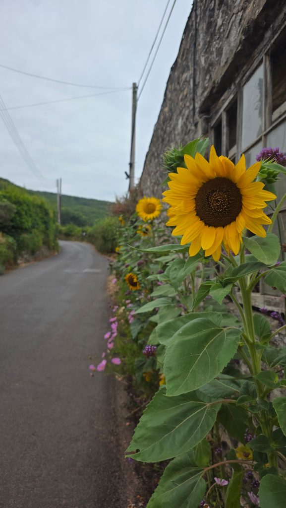
From Porlock Weir, you have to tackle the first uphill section, which throws you right into it. But don’t worry, it’s over pretty quickly.
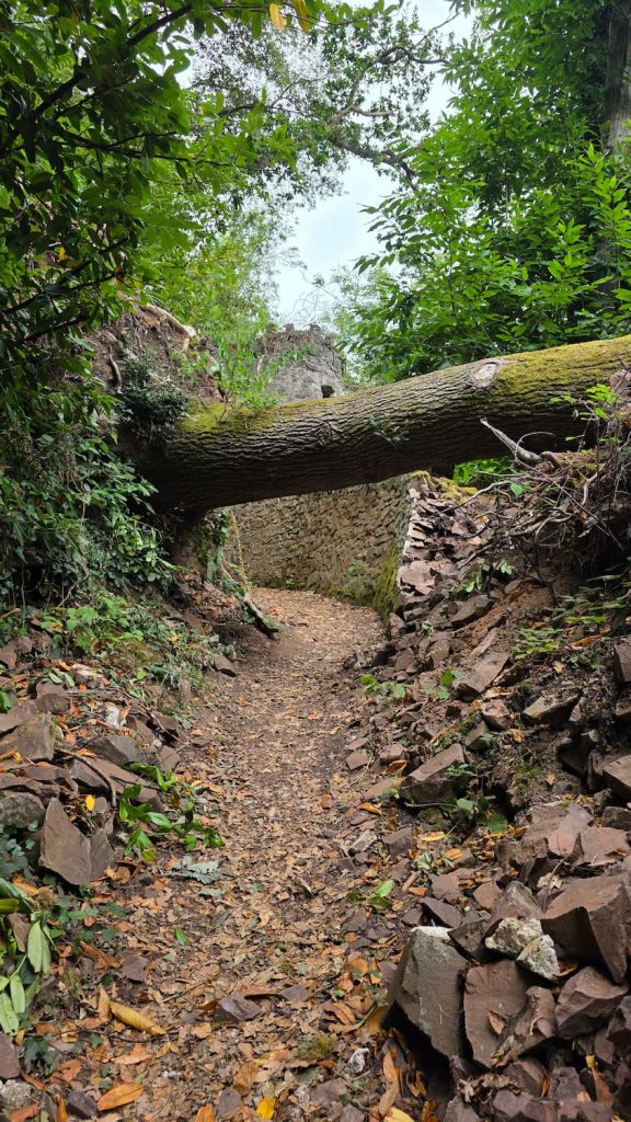
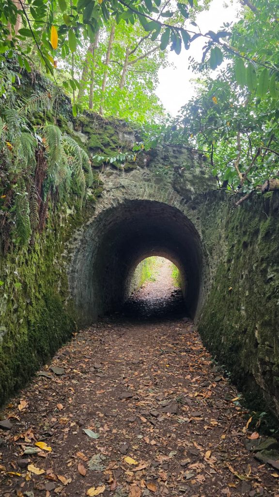
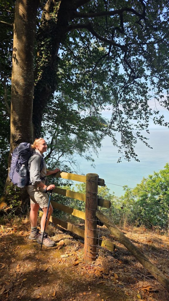
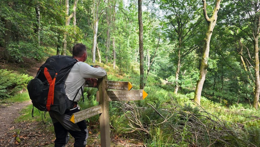
After the beach, the trail takes you into the ancient forest high above the Bristol Channel. You’ll pass through a stone tunnel, under a fallen tree (as of August 2026), and up a path that zig-zags uphill for a mile or so.
After the first uphill stretch, it’s fairly flat (no mega climbs, just an undulating trail ) for several miles. After two miles walking through the forest, you’ll come to Culbone Church.
Culbone to Countisbury Hill
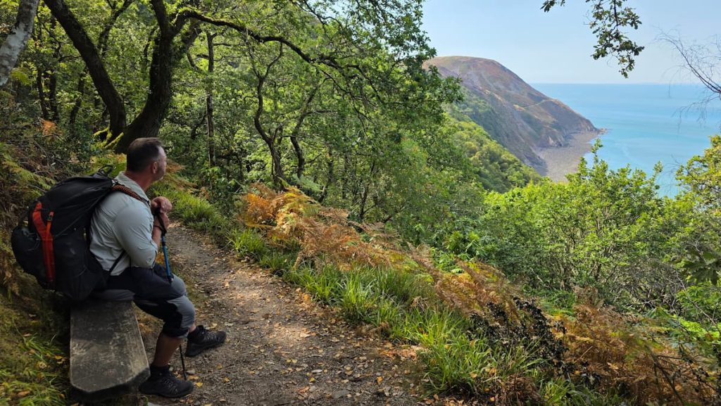
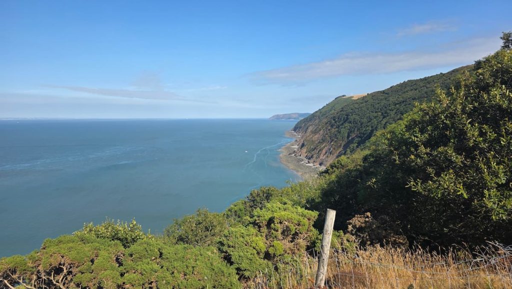
After Culbone Church, you’ll walk a few more miles through the ancient forest on a trail that winds up and down. The path is easy to follow as long as you keep to the acorn signs. Eventually, you’ll come out to an incredible view overlooking Foreland Point.
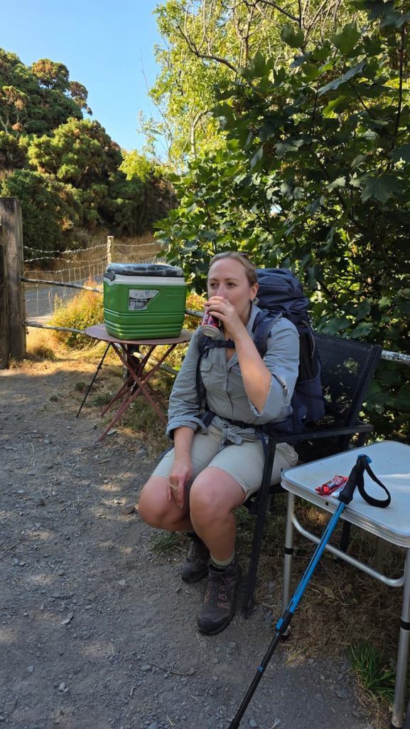
From here, the trail passes through woodland at Glenthorne Cliffs, passing signs for Swannel Combe, Chubhill Combe and Gurney’s Wood, where you’ll find a wonderful honesty cafe that consists of a cooler box full of sugary snacks and drinks, and a PayPal link to pay. All the proceeds made from the honesty box go towards feeding the birds in the garden at the nearby cottage – just lovely!
We bought a KitKat, a Bounty, and a can of Dr. Pepper- the sugar boost really spurred us on for the rest of the hike.
Eventually, you’ll reach Countisbury Hill, where you’ll head down a steep road before navigating off to the left.
We almost missed the turning to the left on Countisbury Hill as it’s not obvious if you’re not paying attention. You don’t need to walk all the way down to the bottom of the hill as this heads down a one-way track to the Lighthouse Keeper’s Cottage. Keep an eye out for the path on the left-hand side about halfway down the hill, which takes you up onto the moorland.
Countisbury Hill to Lynmouth
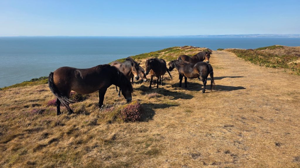
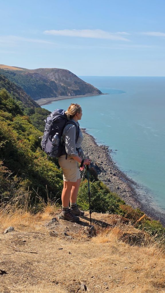
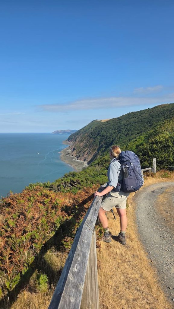
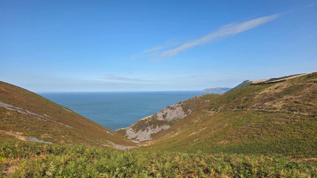
This was my favourite part of the hike as we saw Exmoor Ponies, the gorgeous colours of Exmoor with the purple heather and yellow gorse, and the vast sweeping views of the Bristol Channel.
This is also probably the hardest part of the hike as you meet some steep climbs and then the final steep descent into Lynmouth, which, after a long walk, is harder than you realise on the legs.
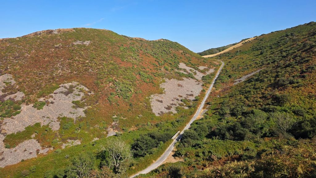
From Countisbury Hill, you’ll head up the hillside and over the Moorland where you’ll get your first glimpse of Lynmouth Harbour below. The trail is easy to follow and is waymarked. Just before heading downhill to Lynmouth, you’ll meet the road, but you only need to walk for a short while on the road.
Look out for a woodland trail to the right-hand side of the road going down, as it’s much nicer to walk on this trail than the busy road and takes you right into Lynmouth.
What Is the Terrain Like?
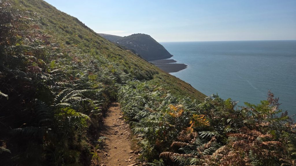
The terrain is fairly rocky underfoot throughout the hike, from woodland trails to moorland hillsides. You’ll need good walking boots for this hike.
We walked in the summer after a very dry period that lasted several months, so the trail was dry. In winter, I’d recommend waterproof footwear in case of wet conditions.
The first 7 miles of this hike are undulating, with gentle ascents and descents turning into steep inclines onto the Moorland for the last few miles.
Facilities Along the Porlock Weir to Lynmouth Walk
Toilets
There are no toilets on the trail itself. The last toilets before starting the walk can be found in Porlock Weir, where you’ll find a free public toilet in the car park.
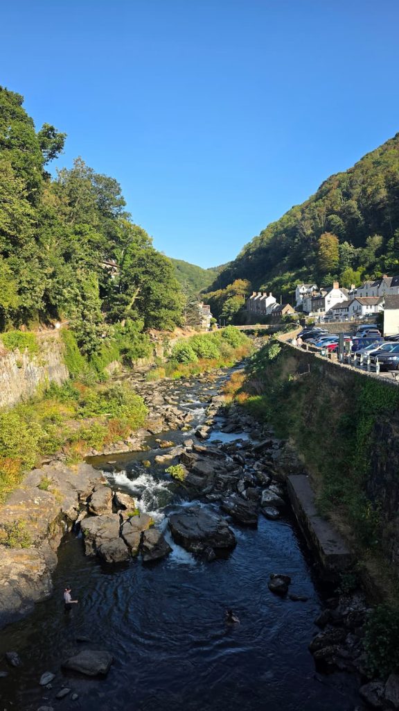
There are also public toilets in Lynton and Lynmouth.
Food and Water
Other than the honesty box at Gurney’s Wood, there are no cafes, restaurants or shops on this trail, and there are no easy ways to get off the trail to find food in towns or villages. So I strongly recommend taking plenty of food and water with you.
If you collect and filter water as you go, there are multiple water sources on the route, specifically at Gunthorne Cliffs, where you’ll find some waterfall streams on the trail. Always filter any water you collect from the outdoors, no matter how clean it looks.
Shops, Cafes and Pubs
You’ll find plenty of shops, cafes and pubs in Porlock Weir and Lynmouth. If you need larger shops to stock up for your hike, you’ll find large supermarkets in Minehead, a town close to Porlock, as well as a smaller shop in Porlock itself (about 1 mile from Porlock Weir).
We had dinner and drinks in The Ancient Mariner in Lynmouth when we arrived, and the food was great.
Best Time of Year to Walk from Porlock Weir to Lynmouth
Generally, you can walk from Porlock Weir to Lynmouth all year round, as long as weather conditions allow. On other sections of the South West Coast Path, you need to take ferries which only operate on a seasonal basis, but that’s not the case with this section.
I’ve walked this trail twice, both times in August. Once on a rainy day and once on a very hot, sunny day. As the first 7 miles of the trail pass through woodland, the trail is mostly shaded, which means it’s a great option for a walk in the summer heat.
Unlike some sections of the South West Coast Path which draw crowds in summer, this section was fairly quiet.
How to Get Back From Lynmouth to Porlock Weir
How you get back from Lynmouth to Porlock will depend on what time of year you are walking this section. In the summer months, from the end of May until the end of August, you can catch the Exmoor Coaster bus service from Lynmouth to Porlock.
Outside of the summer months, your options are somewhat limited as there is no bus service between the towns. You’ll need to rely on a pre-booked taxi, or walk back!
Is the Porlock Weir to Lynmouth Walk Worth It?
Overall, this is a lovely hike with incredible coastal views and beautiful woodland sections. My favourite section was from Countisbury Hill to Lynmouth because of the gorgeous Exmoor views.
If you want a hike that offers 10/10 views the entire way, you’d be better off choosing another section of the coast path, but if you enjoy woodland walking, this would be a good option for you.
Best Places to Stay in Porlock or Lynmouth
Budget Accommodation and Camping
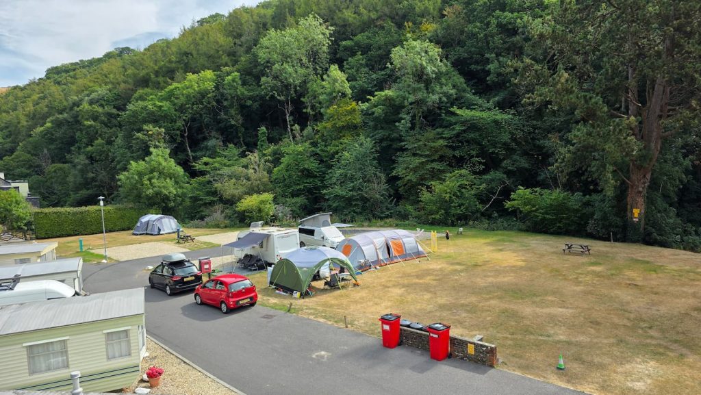
Sunny Lyn Holiday Park – We camped overnight at Sunny Lyn Holiday Park in Lynton. The Holiday Park is lovely, with great facilities and beautiful surroundings. If you arrive before 7 pm, you can get the Lynton & Lynmouth Cliff Railway from Lynmouth to Lynton. Don’t walk like we did! The steep uphill walk was grueling!
Sparkhayes Camping – A lovely campsite in Porlock that I have stayed at before. Beautiful moorland surroundings and just a 5-minute walk into Porlock where you’ll find shops, pubs and restaurants.
The Valley of Rocks Hotel – Affordable hotel in Lynton with single, double and twin rooms with sea views and free WiFi.
Mid-Range Accommodation
Bay View Porlock Bed & Breakfast – Recently renovated adults-only B&B in Porlock with a sun terrace, garden, and free WiFi.
Riverside Cottage B&B – Affordable bed and breakfast in Lynmouth offering a good breakfast and beachfront access in the heart of Lynmouth.
Luxury Accommodation
The Porlock Weir Hotel – Beautiful hotel in Porlock Weir, right at the start of the trail, with direct beachfront access and stunning sea views.
Rising Sun Hotel – Overlooking Lynmouth Bay, this 14th-century thatched inn is full of character with gorgeous rooms and original features.
FAQs About Walking From Porlock Weir to Lynmouth
Can you walk from Porlock to Lynmouth instead of starting at Porlock Weir?
Yes, you can start this hike in Porlock, but it will add approximately 1.8 miles to the distance and around 40 minutes walking time.
Is the Porlock Weir to Lynmouth walk suitable for dogs?
Yes, this trail is suitable for dogs, especially the first 7 miles which pass through woodland on an easy-to-follow trail.
Are there any dangerous or exposed sections of the coast path?
The only section that could be deemed exposed or a little dangerous is the moorland section before descending into Lynmouth, as the trail follows the contours of the cliff, high up above the Bristol Channel, with the trail sharply dropping off to one side. If the wind is strong, it could be precarious.
Can you split the Porlock to Lynmouth walk into two days?
While wild camping isn’t legal in the UK, it is tolerated on long-distance trails as long as you follow the ‘Leave No Trace’ rules, which include not leaving anything behind, not having a fire, being quiet and discreet, not disturbing livestock, and leaving early in the morning.
If you have any questions about completing the Porlock Weir to Lynmouth hike, I’d love to hear from you! Get in touch via the contact form and I’ll do my best to help.
